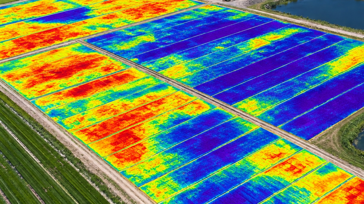
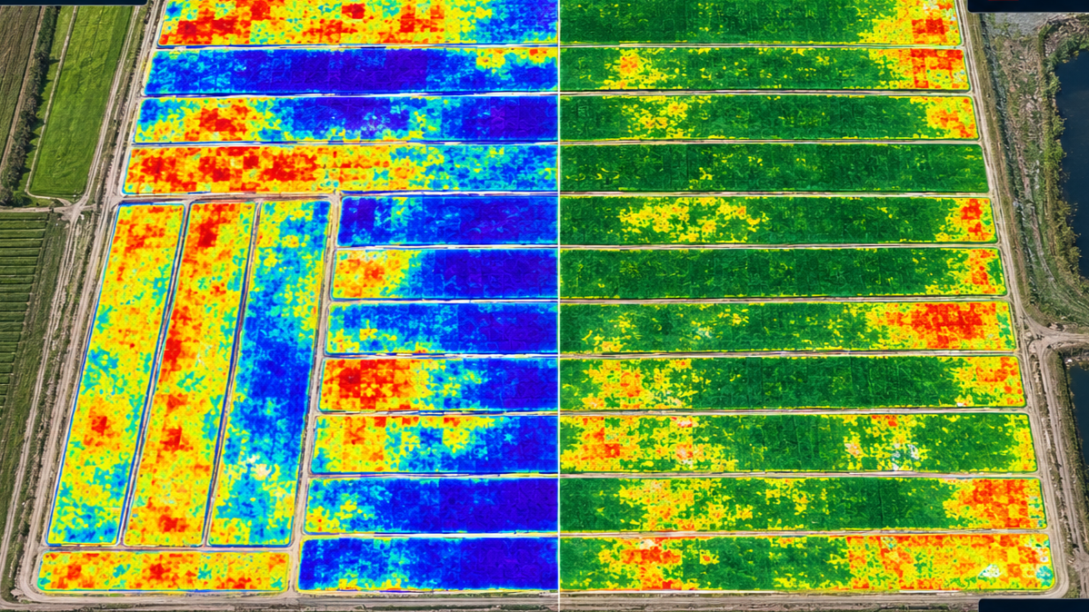
Sod specific, drone-based data collection and crop management solutions.
Our mission is to provide growers with the actionable data they need to make highly informed decisions faster, saving time and money.
Our core services include high resolution, multispectral imaging for crop health analysis and inventory. Our goal is to provide affordable, scalable solutions tailored to the unique conditions in Florida.