


FIELD FLIGHT INC.
Agricultural Drone Imaging for Florida Sod Growers
Field Flight provides drone-based data collection and crop management solutions designed specifically for agricultural operations. Using high-resolution aerial and multispectral imaging, we help Florida sod growers identify areas of crop stress, monitor field conditions, and turn field data into actionable information.
Our goal is simple: give growers the information they need to make faster, more informed decisions—while saving time, reducing unnecessary inputs, and improving the way fields are monitored and managed.
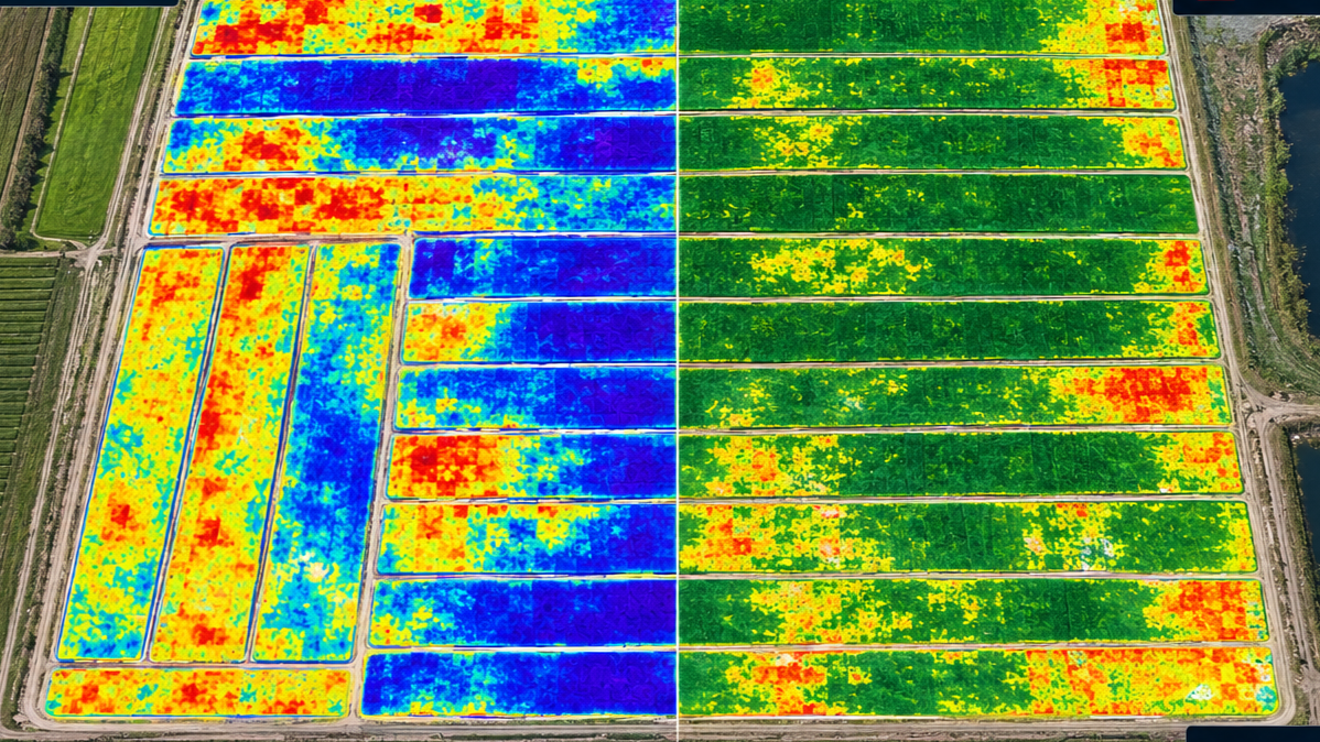
See More. Understand More. Act Sooner.
Field Flight combines high-resolution aerial imagery with multispectral and thermal analysis to give growers a more complete picture of what's happening across their fields. We identify and highlight anomalies, helping you focus attention where it matters most and turn aerial data into practical information for crop monitoring and management.
Crop Health Monitoring
Use multispectral and thermal analysis to identify areas exhibiting differences or potential signs of crop stress. Highlighted anomalies help direct attention to areas that may warrant further investigation.
Multispectral & Thermal Analysis
Go beyond what the eye can see. Multispectral and thermal data provide additional information about field conditions, helping reveal patterns and variations that may not be apparent from the ground.
Field Mapping & Inventory
Create detailed aerial records of your fields, including crop areas and acreage, to support ongoing documentation and inventory management.
Crop Readiness & Harvest Inventory
See the difference between solid-canopy turf and harvested areas across your fields. By comparing current imaging with previous imagery and field data, Field Flight can measure square footage harvested, square footage remaining, and actual yields over time.
As your field history develops, these comparisons provide a clearer picture of harvest progress and help you understand how your fields are changing from flight to flight.
The result is more than an aerial photograph. Field Flight combines high-resolution imagery, multispectral and thermal analysis, and historical field data to turn what's happening across your fields into measurable information you can use for crop monitoring, inventory management, harvest tracking, and informed decision-making.
Ready to See Your Fields Differently?
Get a clearer picture of what's happening across your fields with high-resolution aerial imagery, multispectral and thermal analysis, and actionable field data.
Whether you're looking to monitor crop conditions, identify anomalies, track harvest progress, or better understand your inventory, Field Flight can help turn your fields into measurable, useful information.
Contact Field Flight to discuss your operation, your fields, and the information you need.